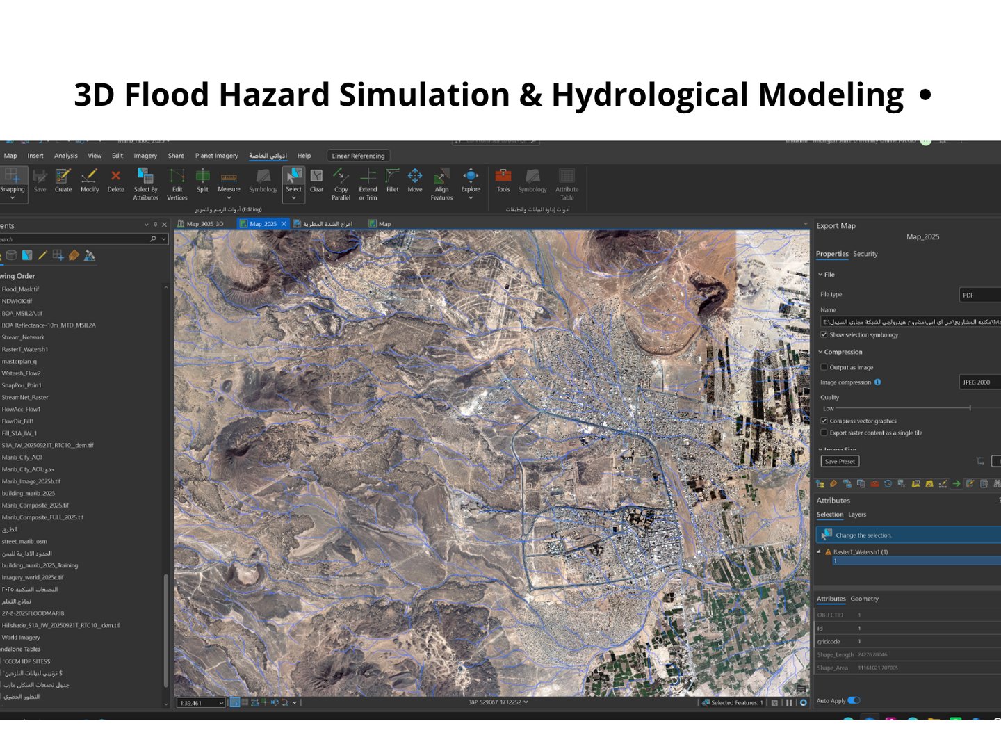
Drainage Network and Flood Analysis in ArcGIS Pro
Ramzi Alhakimi
Published
0
Conducted a hydrological GIS analysis to derive drainage networks,
delineate watersheds, and identify surface-flow patterns using a
digital elevation model and satellite imagery in ArcGIS Pro.
The workflow included DEM preprocessing, flow direction and flow
accumulation analysis, stream network extraction, watershed
delineation, and spatial validation against terrain and imagery.
The final outputs were organized into a geodatabase and prepared as
professional maps for flood-risk assessment and urban planning.