AltitudeExplorer
Stefano Rampazzo
Published
0
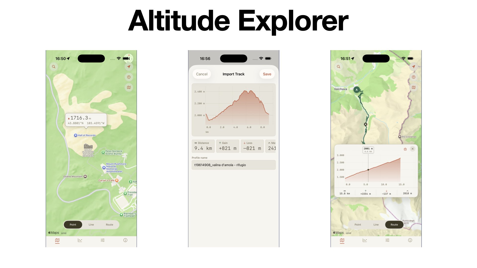
A SwiftUI app (iPhone, iPad, Mac) that shows the elevation of any point on Earth and draws elevation profiles along a route, based on the Copernicus DEM, the European Space Agency’s global digital elevation model.
I built the full stack independently: the app and a dedicated elevation API (Node.js/TypeScript/Fastify) serving the global GLO-90 dataset (~93 GB, 26,000+ tiles).
Key work included fast coordinate-to-tile lookup, tile caching, bilinear interpolation for accurate values, and batch queries for long routes.